Ramsar wetland / Tozeur and Kebili
Chott el Jerid
Ramsar wetland
Tozeur and Kebili
- Area
- 5862KM2
- Protected
- 2007
- Trails
- 1
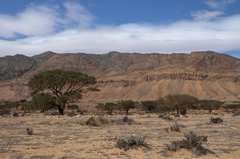
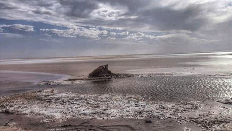
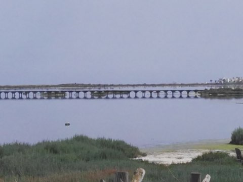
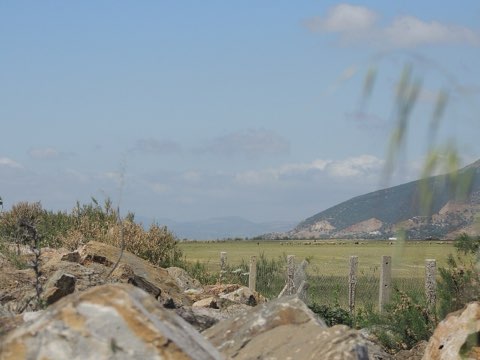
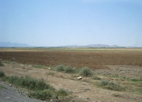
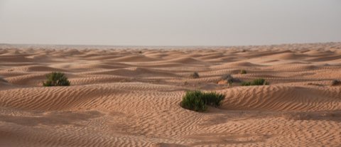
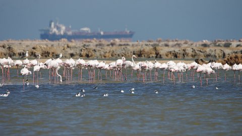
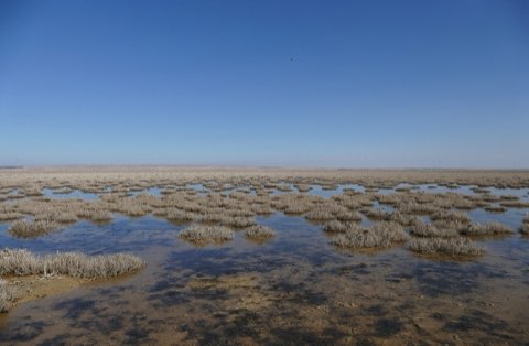
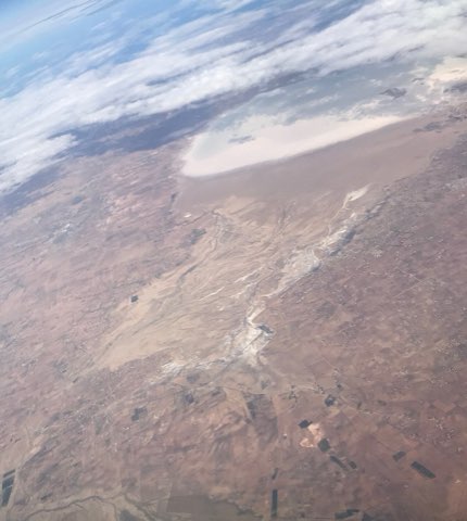
The great salt pan between Tozeur and Kebili, the largest wetland in Tunisia and one of the biggest Ramsar sites in Africa. It floods thinly in winter, draws flamingos and waders, then dries to a blinding salt crust crossed by the causeway road.
Rules
A PERMIT IS NEEDED TO VISIT
- PERMIT
- None for the causeway road and the roadside viewpoints.
- GUIDE
- Recommended for any route off the causeway; the crust hides soft mud and there are no landmarks.
- SEASON
- Water and birds from late autumn to spring; mirages and salt crust in summer.
- RULES
- Do not drive onto the chott surface. Vehicles break through the crust and get stuck, and the salt flats have no shade or water.
Good to know
- Habitat
- Endorheic saline depression of the northern Sahara, seasonally flooded, with salt crust and halophyte fringe
- Wildlife
- Greater flamingo and wintering waders; the oasis fringes hold desert passerines
- Status
- Ramsar site 1699, designated 7 November 2007, 586187 ha
- Getting there
- The P16 causeway between Tozeur and Kebili crosses the middle of the chott
Trails inside
Places inside
Photographs
Sources
Photos: Afek91 (CC BY-SA 3.0), Margarita Modrono (CC BY-SA 4.0), Kais photographies (CC BY-SA 4.0)
- OpenStreetMap relation 3969167
- Ramsar Sites Information Service: Chott El Jerid
- Boundary from OpenStreetMap contributors (ODbL).