Matmata Hills MTB Loop: Tamezret and Zeraoua
- Bike
- Distance
- 50km
- Duration
- 5HRS
- Ascent
- 600M
Elevation profile
323-455 M / TERRAIN TILES SAMPLED ALONG THE TRACK
Photographs
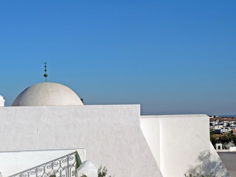
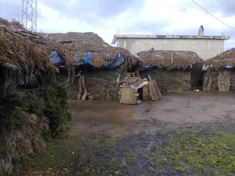
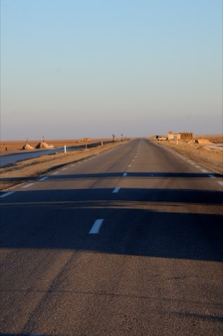
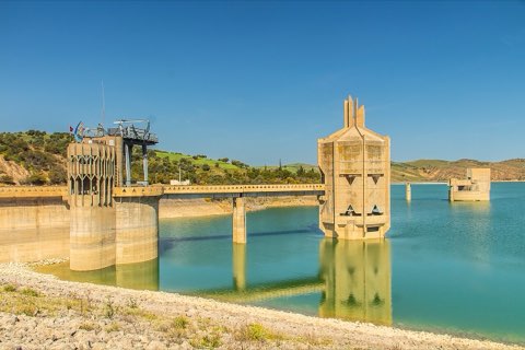
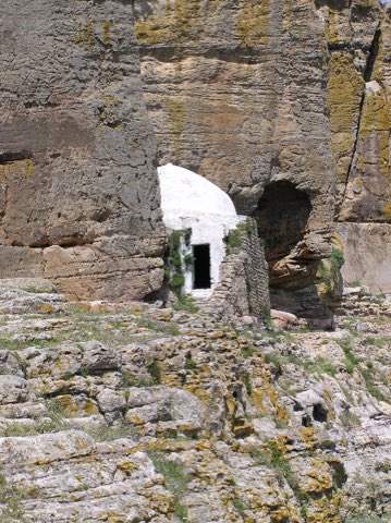
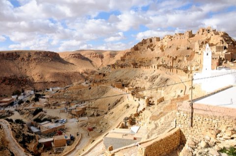
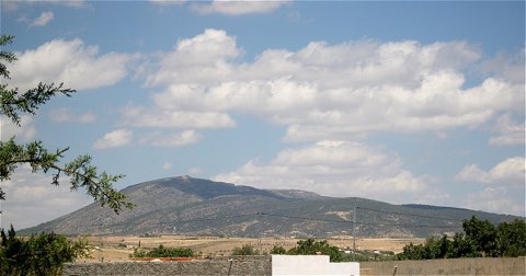
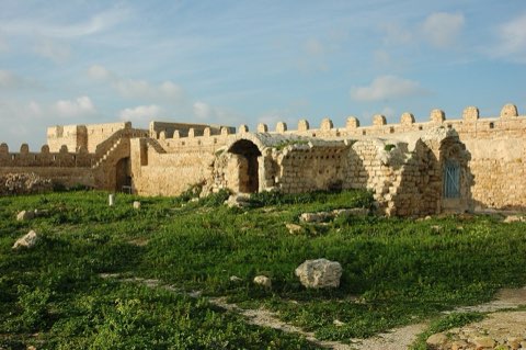
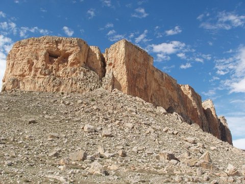
Photos: Bernard Gagnon (CC BY-SA 3.0), Dennis G. Jarvis (CC BY-SA 2.0)
Start point
- Car
- Matmata is 45 km from Gabes and about 6 h from Tunis.
- Louage
- Louage from Tunis Moncef Bey station to Gabes (verify locally), then louage to Matmata.
- Bus / train
- SNCFT train Tunis-Gabes, then louage.
Nearby
The trail
A mountain-bike loop from Matmata through eroded hills to the Berber villages of Tamezret and old Zeraoua.
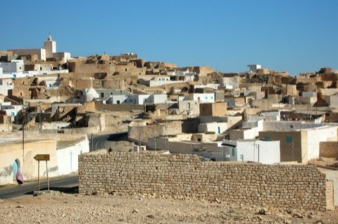
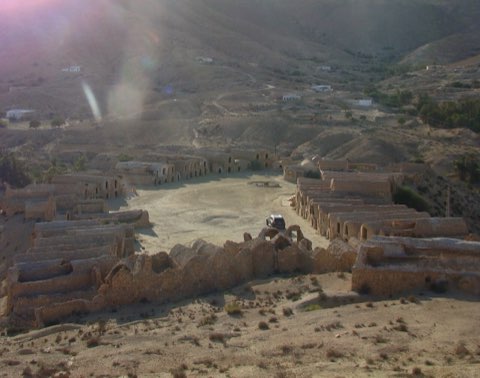
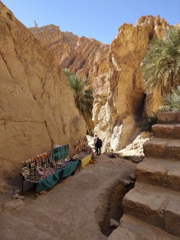
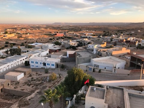
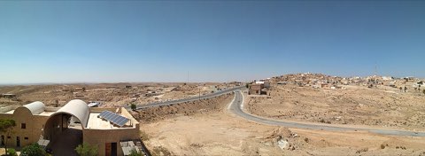
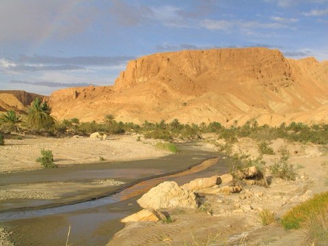
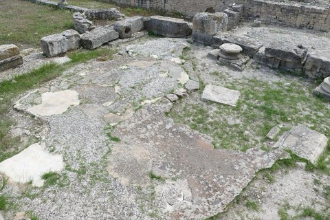
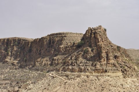
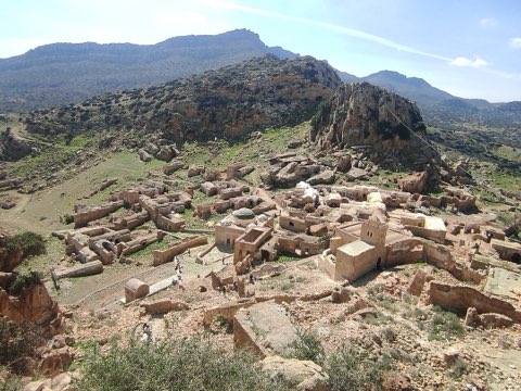
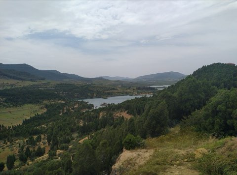
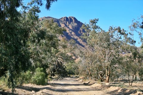
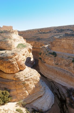
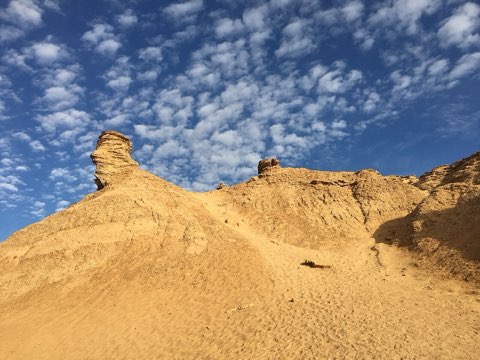
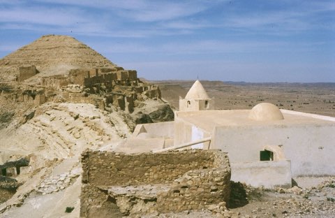
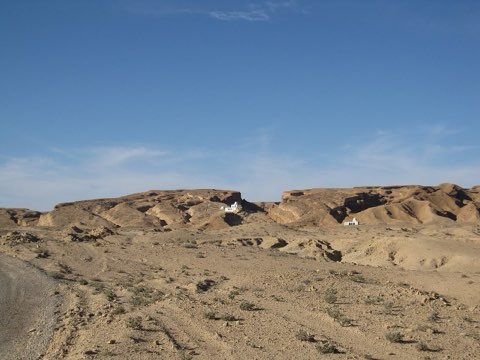
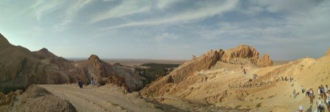
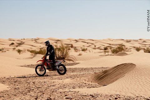
The first day of a guided mountain-bike tour of the south, this loop leaves Matmata for the badlands to the west, where erosion has carved the hills into ridges and gullies. It passes Tamezret, a Berber village of stone houses wrapped around a hilltop mosque, and reaches old Zeraoua, a largely abandoned Amazigh village in a striking setting above the valley, before turning back to Matmata. The tour lists it at 50 km with about 600 m of climbing, mostly on pistes; the mapped line here follows the nearest roads and tracks and may differ in length from the guided route. It suits riders comfortable with rough tracks and a long day in the heat.
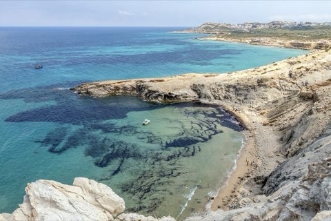
- Eroded hills west of Matmata
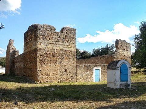
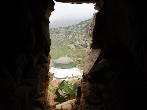
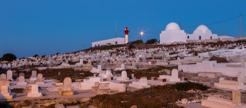
- Hilltop Berber village of Tamezret
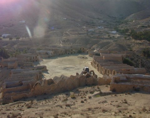
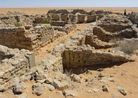
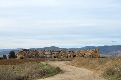
- Abandoned Amazigh village of old Zeraoua
- Pit dwellings of Matmata at start and finish
Weather and season
- SEASON
- October to April
| Month | Average high | Average low | Rainfall |
|---|---|---|---|
| January | 14.3 C | 6 C | 11 mm |
| February | 15.7 C | 6.7 C | 17 mm |
| March | 19.6 C | 9.4 C | 23 mm |
| April | 24.3 C | 12.8 C | 16 mm |
| May | 27.9 C | 16.3 C | 5 mm |
| June | 32.1 C | 19.9 C | 2 mm |
| July | 35.1 C | 22.7 C | 1 mm |
| August | 34.4 C | 22.9 C | 2 mm |
| September | 31.4 C | 21.3 C | 10 mm |
| October | 26.4 C | 17.1 C | 14 mm |
| November | 19.9 C | 11.7 C | 22 mm |
| December | 15.1 C | 7.4 C | 17 mm |
Monthly normals 2011-2020 at the start point, from Open-Meteo (CC BY 4.0). Shaded months are the season this trail is listed for.
Practical
- Water
- Carry 3 L; cafes in Matmata and Tamezret only.
- Guide
- recommended
- Hazards
- Rocky and sandy pistes, steep short climbs, heat and no shade; remote stretches between villages.
- Route
- Approximate line along mapped paths between verified waypoints. Follow a guide or a GPS track on the ground.
Go with a guide
These operators and clubs organise guided hikes in Tunisia:
- WildyNessTunisian booking platform for guided hikes with local guides (Cap Blanc, Mides, Selja, Dahar, El Haouaria), several with GPS downloads.
- Association Tunisienne des RandonneursHiking association in Tunis that runs and writes up group hikes across the country.
- Mosaic North AfricaTour operator offering custom hiking trips, including the Chebika, Tamerza and Mides oases.
- Destination DaharPublishes the official topoguide (12 stages, 194 km) of the Grande Traversee du Dahar.
- Grand Sahara AventuresDjerba-based operator running Berber village and desert treks in the south.
- Destination TunisTunis-based guide publishing and leading day hikes around Tunis and Cap Bon.